Finding the quickest, most efficient route is a priority when navigating today’s busy roads. Navigation apps like Google Maps and Waze offer real-time updates, turn-by-turn directions, and more. Both are popular choices for iOS and Android users, offering accuracy and ease of use. But which Google-owned app is the best fit for your daily driving needs? Let’s compare Waze and Google Maps to help you decide.
Understanding Waze
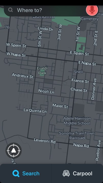
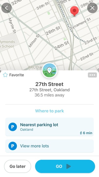 Waze Interface
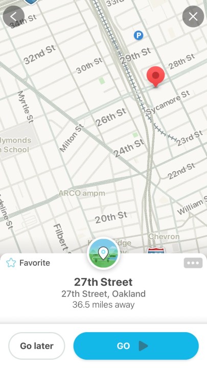 Waze Reporting Features
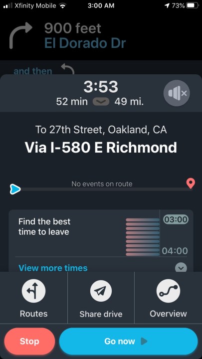
 Waze Route Overview
 Waze Speedometer
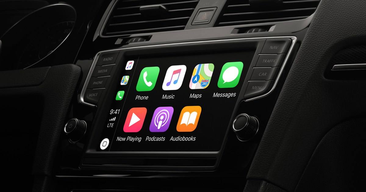
Acquired by Google in 2013, Waze leverages community-based, real-time data for navigation. “Wazers” contribute reports on accidents, hazards, speed traps, police presence, and road closures, enabling dynamic rerouting based on live traffic conditions. Waze helps locate affordable gas stations along your route and integrates seamlessly with Android Auto and Apple CarPlay for in-car display use. Beyond driving directions, Waze supports Google Assistant (Android) and Siri (iOS) voice commands, offers customizable voice guidance, and facilitates carpooling. The free, ad-supported app also includes motorcycle mode and integration with music and podcast services like Spotify.
Exploring Google Maps
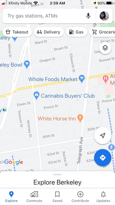 Google Maps 3D View
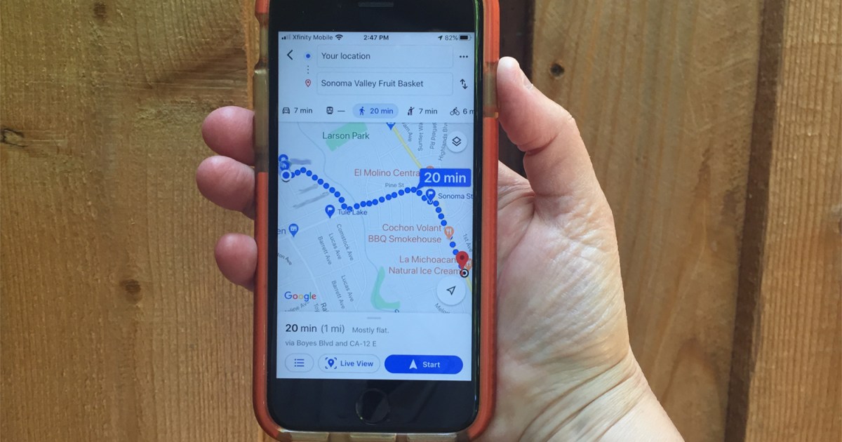
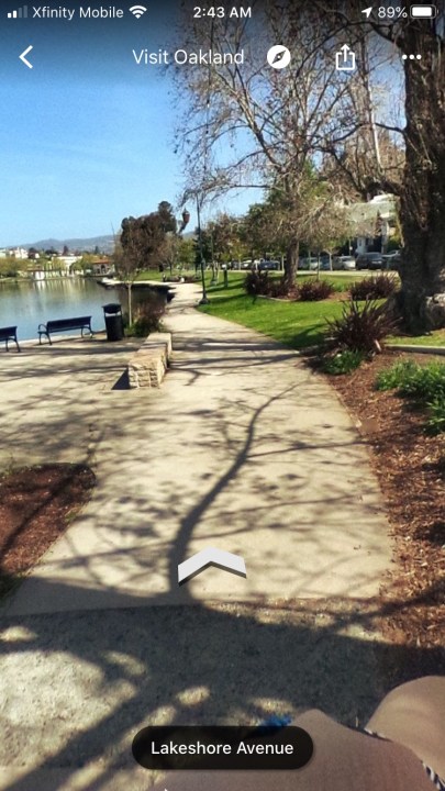 Google Maps Navigation Interface
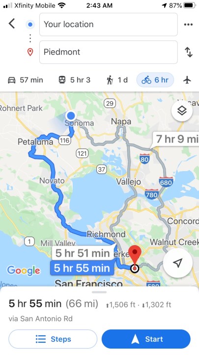 Google Maps Location Information
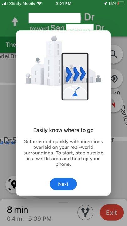 Google Maps Street View
Google Maps provides comprehensive navigation for driving, walking, biking, and public transit, offering detailed turn-by-turn directions and lane guidance. Pre-installed on Android phones, Google Maps also functions as a local guide, showcasing businesses, landmarks, and points of interest. It enables users to explore areas, discover nearby amenities, and access traditional map features. Flexible routing allows for on-the-go searches and adding multiple stops. Integrating with Google Assistant, Street View, and Search, Google Maps incorporates real-time traffic updates and augmented reality for pedestrian navigation, borrowing some features from Waze.
Comparing Waze and Google Maps
Both apps offer turn-by-turn navigation, but key differences exist.
| Feature | Google Maps | Waze |
|---|---|---|
| Navigation Modes | Driving, walking, biking, public transport | Driving only |
| Data Source | Primarily data-based, now includes user reports | Community-driven, crowd-sourced, real-time |
| Offline Mode | Available | Requires data connection |
| Local Info | Businesses, landmarks, details | Focuses on road conditions |
| Interface | Traditional, information-rich, can be cluttered | Sleek, minimal, customizable, 3D graphics |
| Voice Navigation | Multiple options, AR directions | Customizable voices, celebrity options |
| Additional Features | Lane guidance, parking location saver, EV charging | Speed monitoring, parking lot map |
Speed and Efficiency
Waze shines in urban environments, effectively rerouting around traffic incidents and providing advance warnings. Its police reporting feature helps drivers maintain legal speeds. However, Waze’s routes can sometimes lead through residential areas, which might not always be the most time-efficient for local trips. Google Maps provides timely navigation with traffic alerts, though less granular than Waze due to its different social integration approach. Google Maps offers a broader map view, often presenting routes and surrounding services more clearly.
The Best App for You
Waze is ideal for drivers prioritizing real-time alerts for police, traffic, and accidents, offering customizable routes and social interaction. Google Maps, accessible on Android Auto, provides similar traffic analysis and avoidance features but also offers Live View with augmented reality, particularly beneficial for pedestrians navigating unfamiliar areas. The “Saved” tab allows users to bookmark favorite locations.
Ultimately, there’s no need to limit yourself to just one app. Install both and choose the best option for each situation. Google Maps excels for exploration and general knowledge, while Waze’s driver-centric features cater to commuters seeking to avoid traffic disruptions.

